|
|
THE MANAMBOLO RIVER
|


|
|
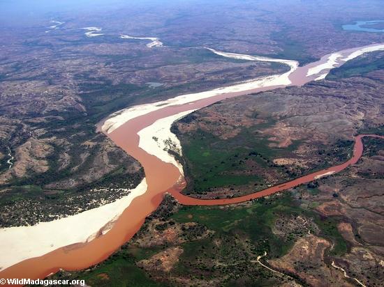
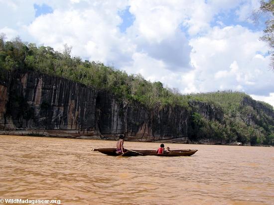
The Manambolo river originates in the highlands of Madagascar ("Haut plateau"), about 80 miles (130 km) west of Antananarivo, the captial city of the country. The Manambolo, deep red-orange in color from eroded sediment, descends through a largely deforestated landscape as it heads toward the Mozambique Channel.
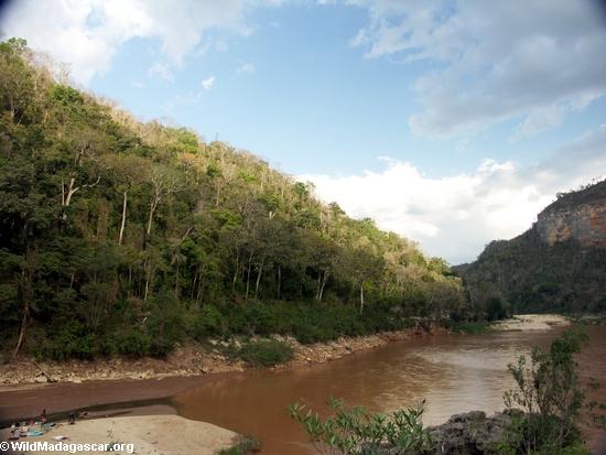
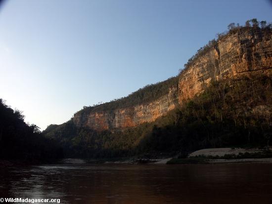
About 45 miles (70 km) before reaching the sea, the river enters the Manambolo canyon. The canyon is spectacular with colorful sandstone cliffs and thick cover of deciduous forest. Lemurs (Decken's sifaka and red-fronted brown lemurs) may be seen coming down to drink at the river's edge and in trees along the ridgeline.
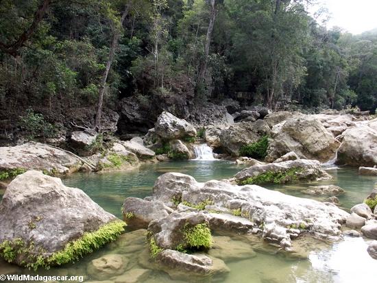
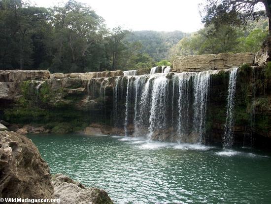
There are several small clearwater creeks adding to the Manambolo's flow in the canyon and following one of these creeks can be quite rewarding. Below you can find some pictures from a hike up "Oly" creek.
In the lower part of the canyon, the river loses its current and becomes a pool. Windy conditions, especially in the afternoon, can make paddling this stretch a bit of a workout. After several miles of this you'll leave the canyon and come upon the village of Bekopaka.
Bekopaka is a small village on the north side of the river located next to the main entrance for the Tsingy de Bemaraha National Park. On the south side of the river there is a camp site. Bekopaka is known for its spontaneous outbreaks of music by young people (typically in the evening hours).
More on the Manambolo:
the team | journal
Almost all pictures on this site were taken with a Konica Minolta
|
|
home | photos index | search | about | contact
Unless otherwise noted, all content and images are the property of Rhett Butler, content copyright 2004-2006.
All rights reserved.
|
|
|
|
|